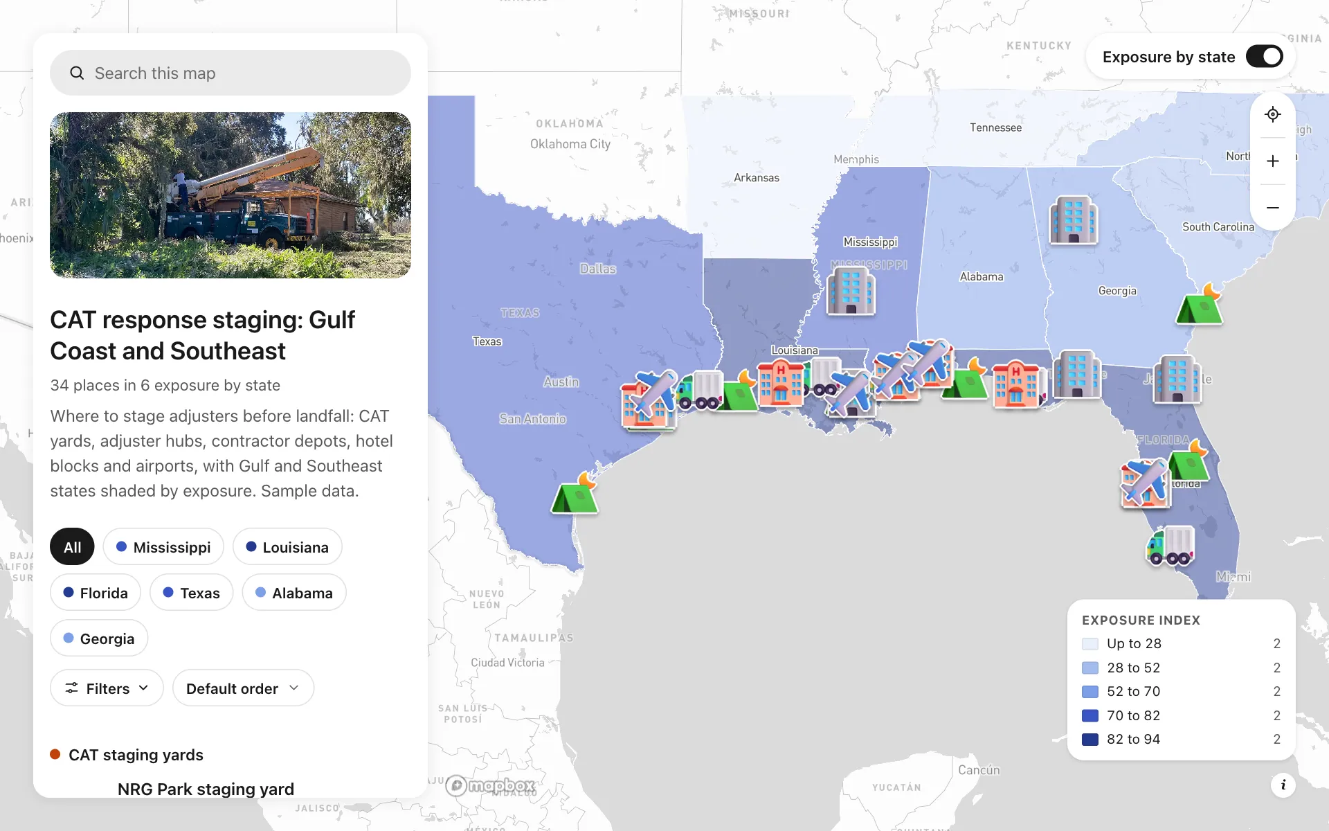
Catastrophe claims staging
A staging map for an invented claims operation working the Gulf Coast and Southeast. Ten CAT yards, seven adjuster hubs, six contractor depots, six hotel blocks and five airports sit on states shaded by an exposure index. Each place shows how many adjusters are on site, the claims per day it can handle and whether it is staged, mobilizing or on standby. A dispatch desk button is on every place. It replaces the staging spreadsheet and the morning conference call.
A sample map: its businesses and people are invented.
Who needs a map like this
Who it’s for
Claims operations leaders at property insurers, TPAs and independent adjuster firms
What it’s worth
In a hurricane or hail season the cost is the days between a storm and an adjuster at the door. One staging map shows where adjusters, trailers, contractors and rooms already sit, so you place people before landfall and shorten cycle time.
What to notice in this map
- Gulf and Southeast states shaded by an exposure index
- Adjusters on site shown on every row
- Filter by status: Staged, Mobilizing or Standby
- Claims per day capacity as a number filter
- A Dispatch desk button on every yard, hub, depot and hotel block
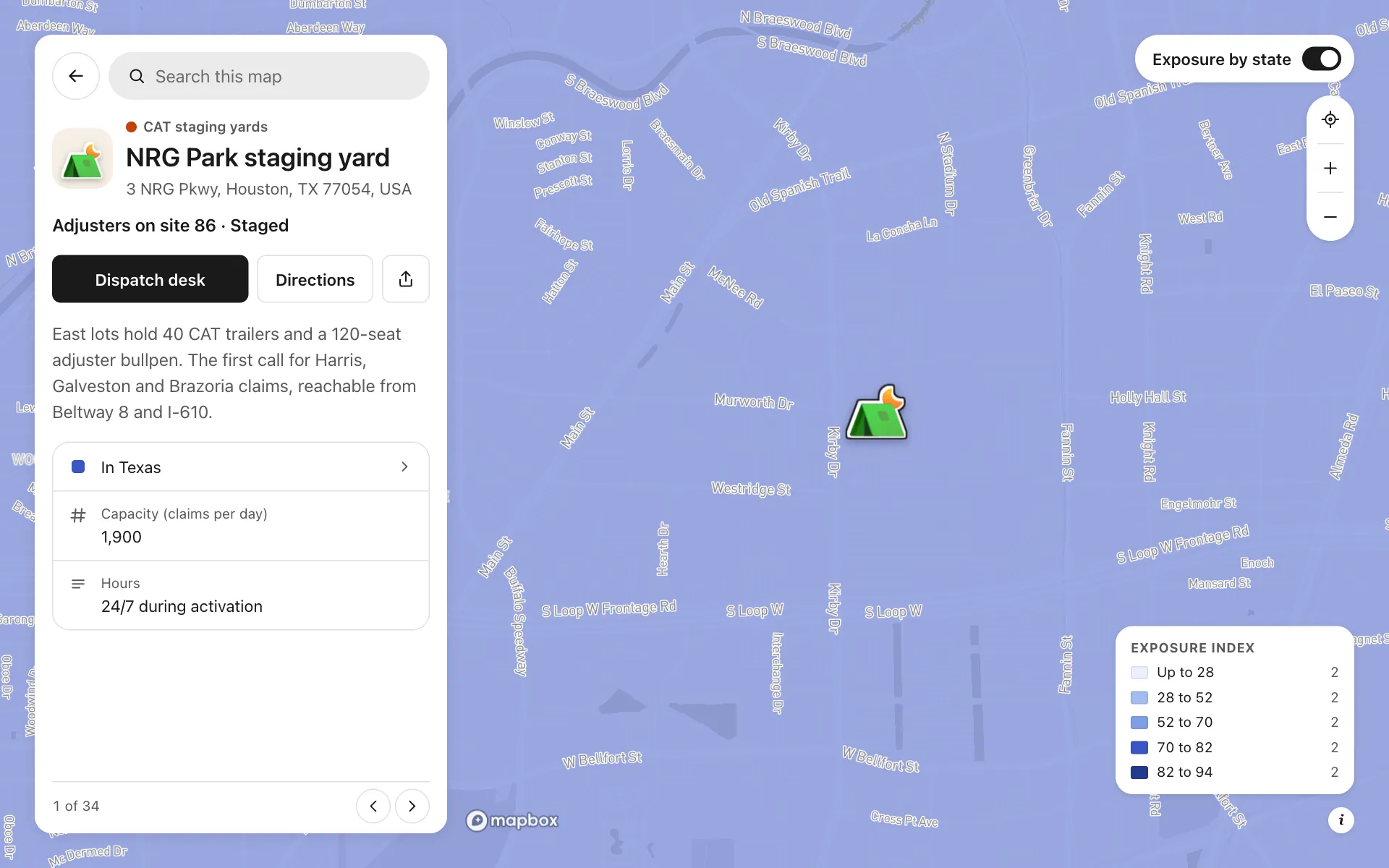
Open any place on the map to see its details and buttons.
Make one like it in an afternoon
You don't need a developer. These are the four steps, in Create Mappins.
Step 1
Create a guide map and add your yards, hubs, depots, hotel blocks and airports as places in five categories.
Step 2
Add fields: a number for adjusters on site, a number for claims per day, a choice for status (Staged, Mobilizing, Standby), a text field for hours, and a phone field with the button label Dispatch desk.
Step 3
Add the US states layer from the data library, show only the Gulf and Southeast states, write your own exposure column and shade the states by it.
Step 4
Pick the light base style, set the opening view on the Gulf, then publish the map and share the link with your adjusters and vendors.
More maps like this
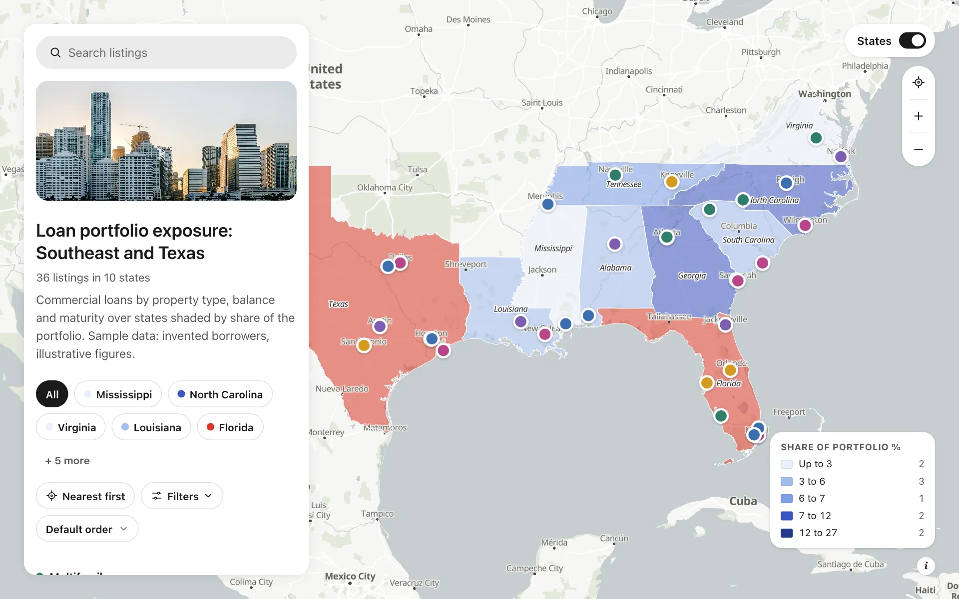
Loan portfolio exposure
36 commercial loans by property type, balance and rating over states shaded by share of the portfolio.
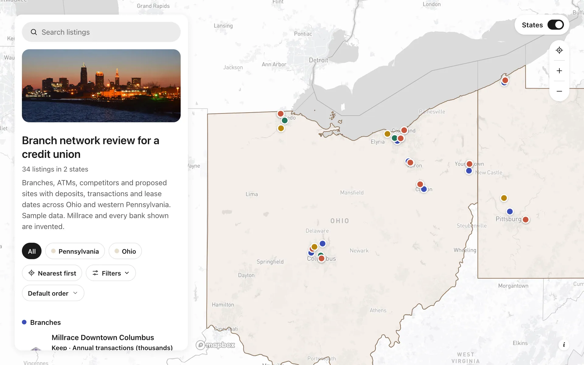
Branch network review for a credit union
Branches, ATMs and rivals with deposits, transactions and lease dates: see which two can consolidate.
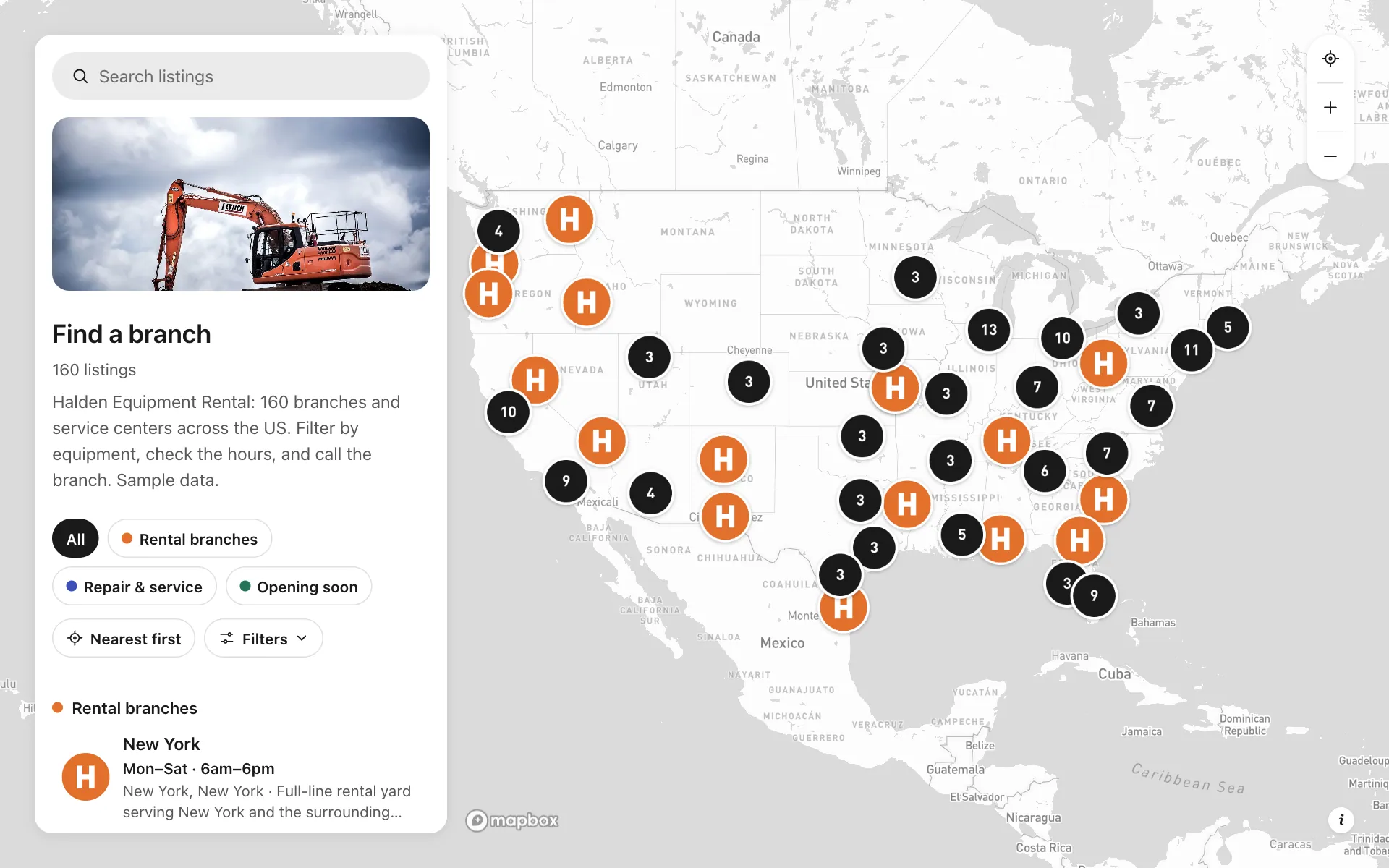
Branch locator for a rental chain
A locator for 160 rental branches with logo pins, hours, equipment filters and a call button.
Build the map your business needs
Start free: up to 3 maps. Import your own data, add photos and details, and share one link.