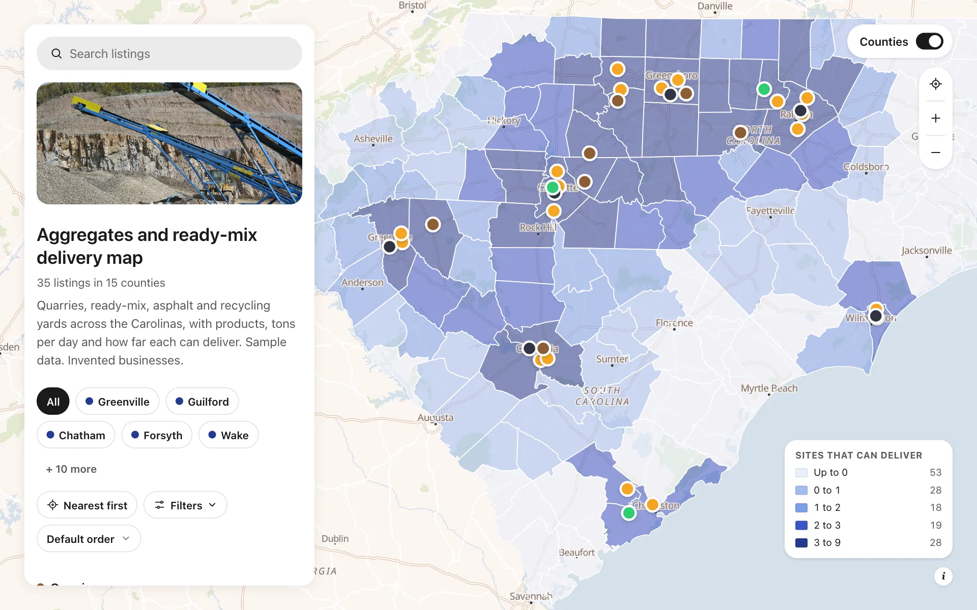
Aggregates delivery range
This map puts a Carolinas producer network on one screen: quarries, ready-mix plants, asphalt plants and recycling yards, each with the products it ships, its daily tonnage, its delivery radius, whether its mix design lab is certified, its hours and a dispatch number. A county layer shades how many sites can reach each part of North and South Carolina, so coverage gaps show before a bid goes out. A contractor filters by product and radius, finds the nearest plant, and taps Request a quote.
A sample map: its businesses and people are invented.
Who needs a map like this
Who it’s for
Sales and dispatch managers at aggregates, ready-mix and asphalt producers, and the contractors who buy from them
What it’s worth
Concrete has about 90 minutes before it sets, and aggregate is mostly freight, so the question every buyer asks is who can deliver to this job site. A map that shows each plant's reach answers it without a call to dispatch, and lets your sales team quote a delivered price faster than a competitor who phones around.
What to notice in this map
- Four categories with their own stickers: quarries, ready-mix, asphalt, recycling
- Reach set per plant: about 25 miles for ready-mix, 60 to 80 for stone
- County layer shaded by how many sites can reach each county
- Filters for product, tons per day, delivery radius and certified labs
- A Request a quote button on every plant that calls dispatch
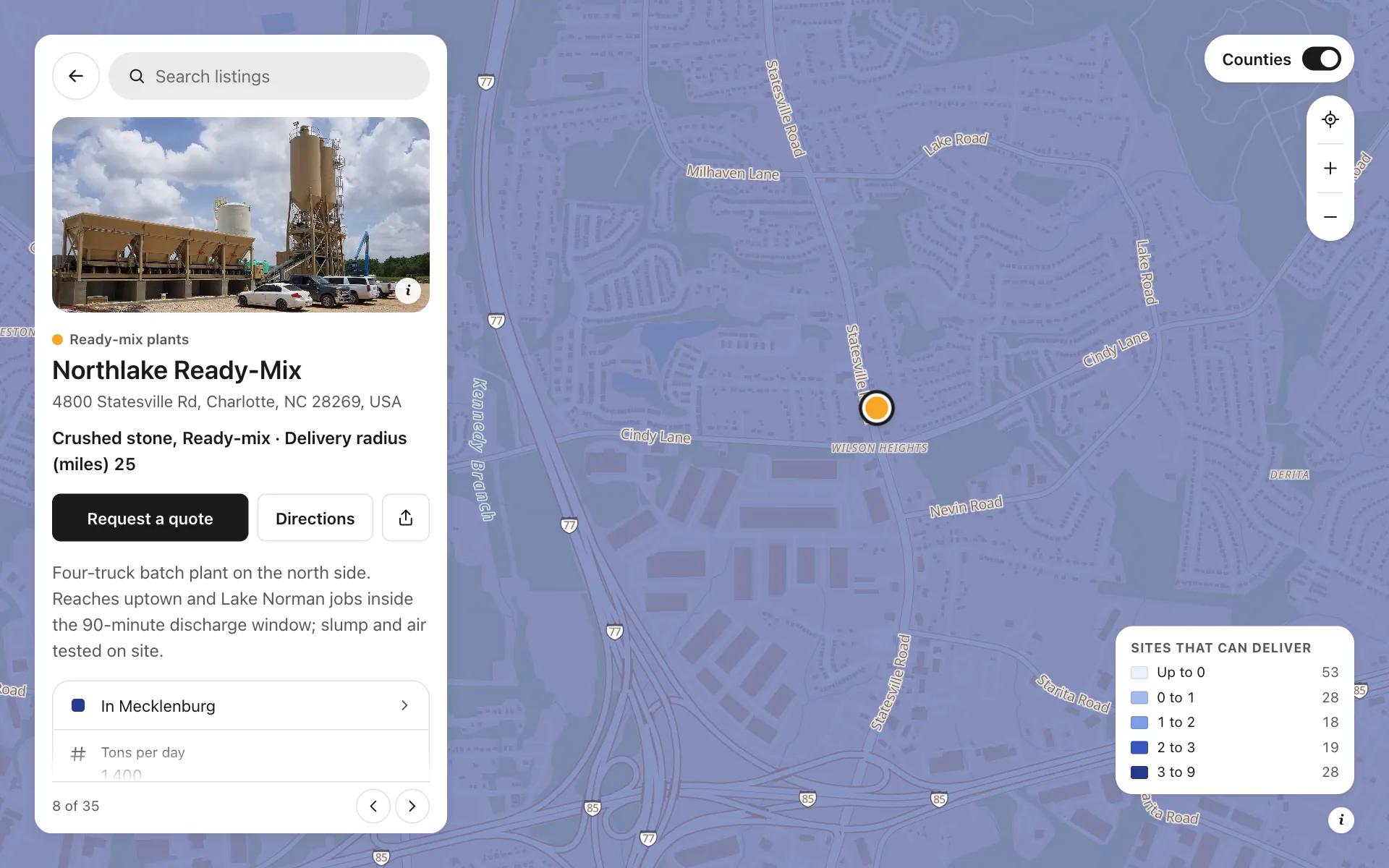
Open any place on the map to see its details and buttons.
Make one like it in an afternoon
You don't need a developer. These are the four steps, in Create Mappins.
Step 1
Create a directory map and add four categories: Quarries, Ready-mix plants, Asphalt plants and Recycling yards.
Step 2
Add fields for products (several choices), tons per day and delivery radius (numbers), a certified lab (yes or no), hours and a dispatch phone with a Request a quote button, and turn on filters.
Step 3
Add each plant by address or import your site list from a CSV or Excel file, then fill in its products, tonnage and reach.
Step 4
Add the US counties layer for your states, pick a base style, set the opening view and share the link with your sales team and customers.
More maps like this
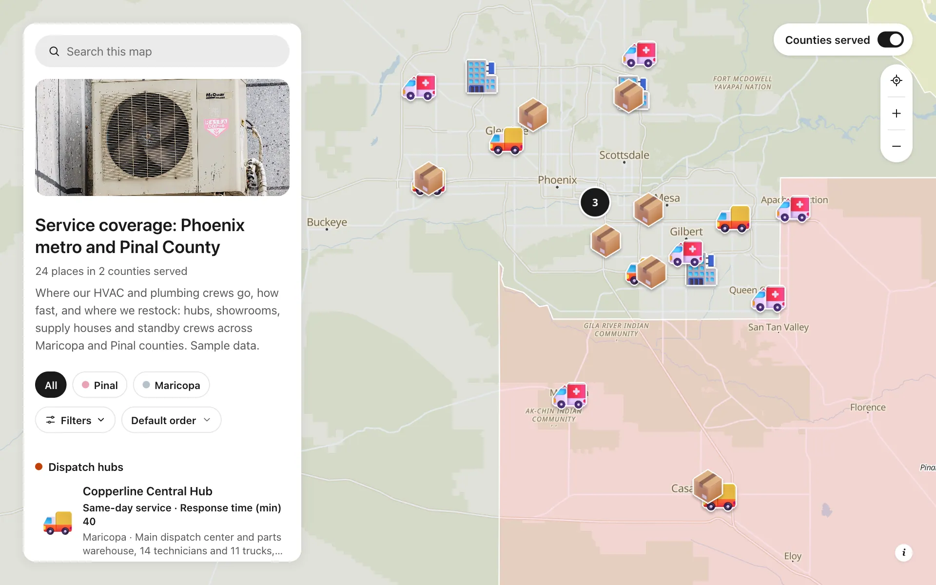
Service area and dispatch map
Dispatch hubs, same-day zones, supply houses and standby crews, shown on one coverage map.
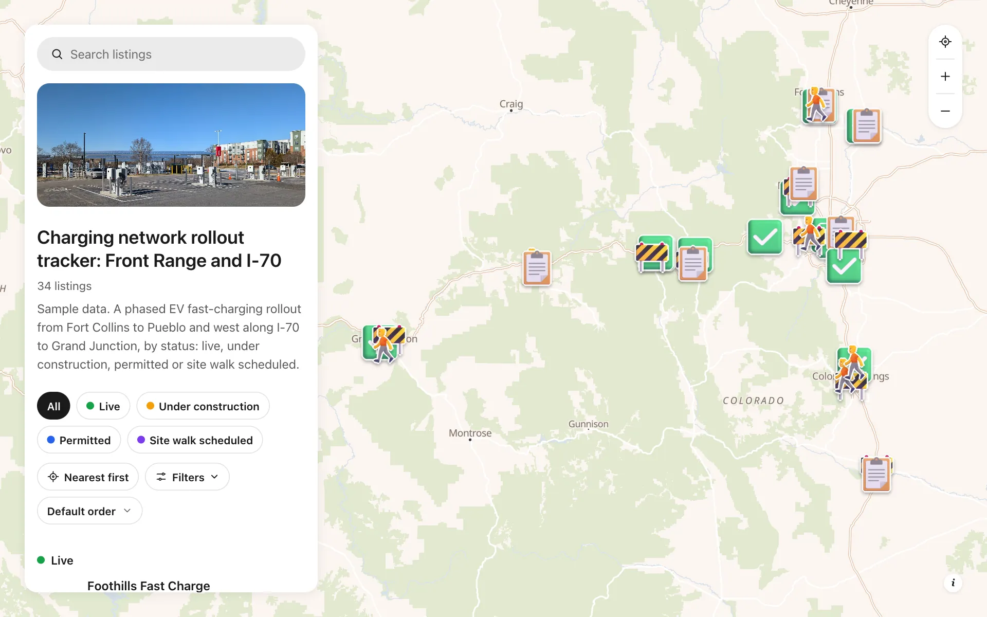
EV charging rollout tracker
34 sites from Fort Collins to Grand Junction by status, power, stalls and host type, with a host contact line.
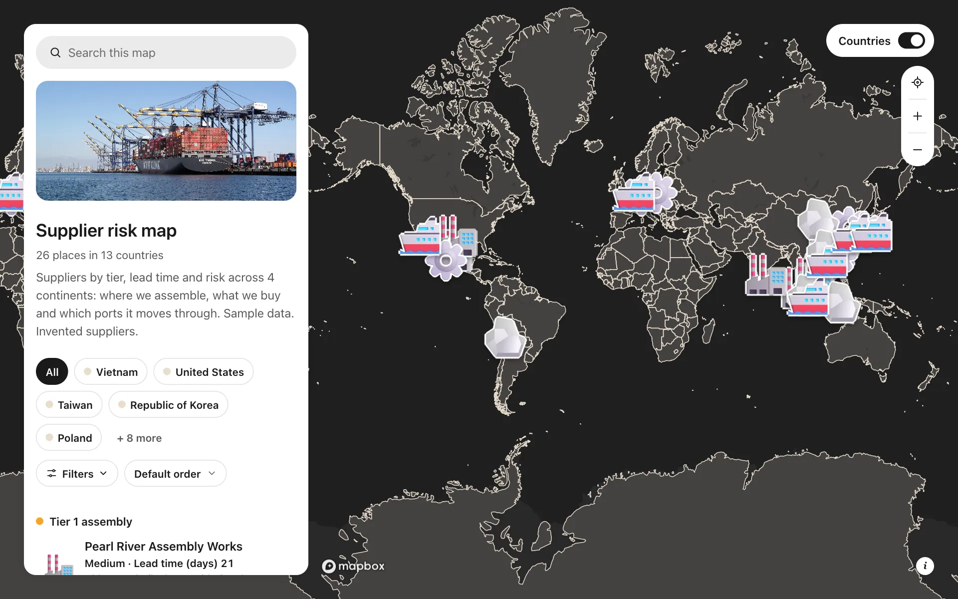
Supplier risk map
Suppliers by tier, lead time and risk, so concentration shows at a glance.
Build the map your business needs
Start free: up to 3 maps. Import your own data, add photos and details, and share one link.