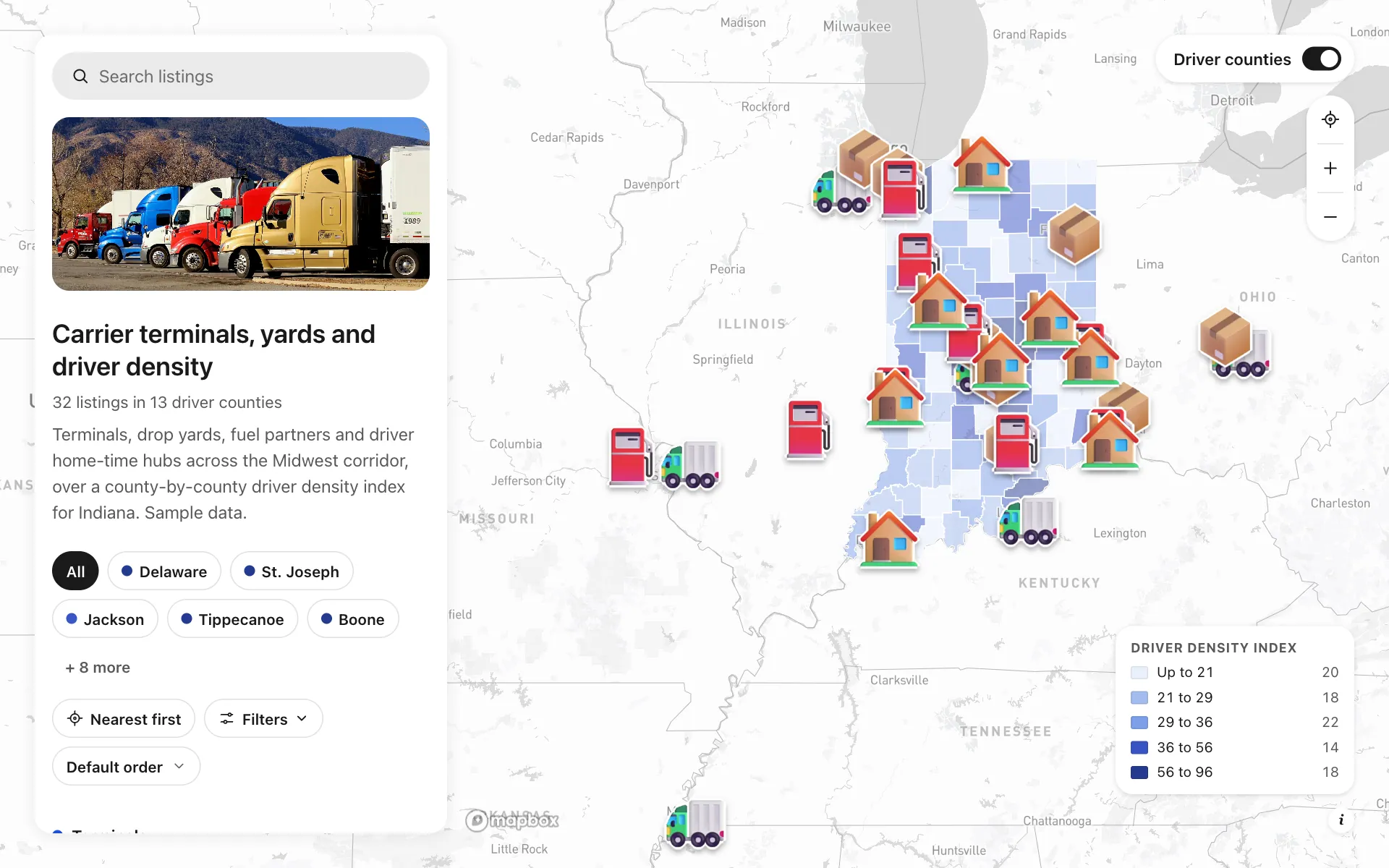
Trucking terminals and driver recruiting
A recruiting and network map for an invented Midwest carrier. Seven terminals, eight drop yards, nine fuel and scale partners and eight driver hubs sit over Indiana counties shaded by a driver density index. Recruiting sees which dark counties have no terminal nearby, such as Allen and Vanderburgh, and runs ads there first. Dispatch sees where a driver lives relative to a lane. Candidates filter by pay per mile and tap Talk to a recruiter.
A sample map: its businesses and people are invented.
Who needs a map like this
Who it’s for
Fleet owners and VPs of operations or recruiting at regional trucking carriers
What it’s worth
A truck without a driver loses about $1,000 a day. This map shows recruiting where drivers live by county, where terminals and yards already are, and where to run ads or open the next terminal, so a seat does not sit empty for weeks.
What to notice in this map
- Indiana counties shaded by a driver density index, darkest where drivers live
- Terminals, drop yards, fuel partners and home-time hubs in four categories
- Filter by trailer spots, hiring status and pay per mile in cents
- Dispatch hours and pay per mile on every row of the list
- A Talk to a recruiter button on each terminal, yard and hub
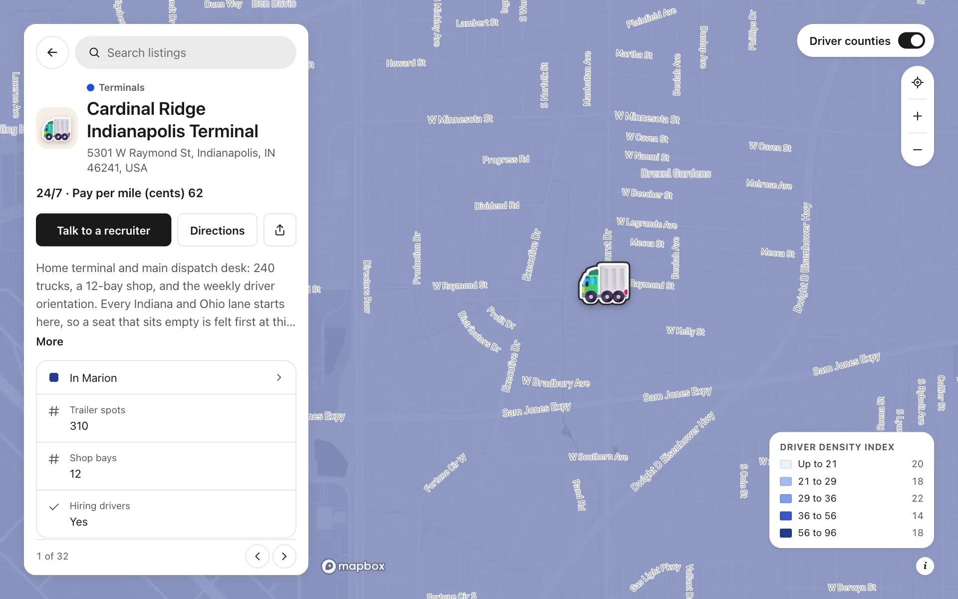
Open any place on the map to see its details and buttons.
Make one like it in an afternoon
You don't need a developer. These are the four steps, in Create Mappins.
Step 1
Create a directory map and add your terminals, drop yards, fuel partners and driver hubs as places, in four categories.
Step 2
Add fields: numbers for trailer spots, shop bays and pay per mile, text for dispatch hours, a yes or no for Hiring drivers, and a phone field with the button label Talk to a recruiter.
Step 3
Add the US counties layer from the data library, show only your home state, write a driver density index column for the counties you know, and shade the layer by it.
Step 4
Pick the light base style, set the opening view to your corridor, then share the link or embed the map on your careers page.
More maps like this
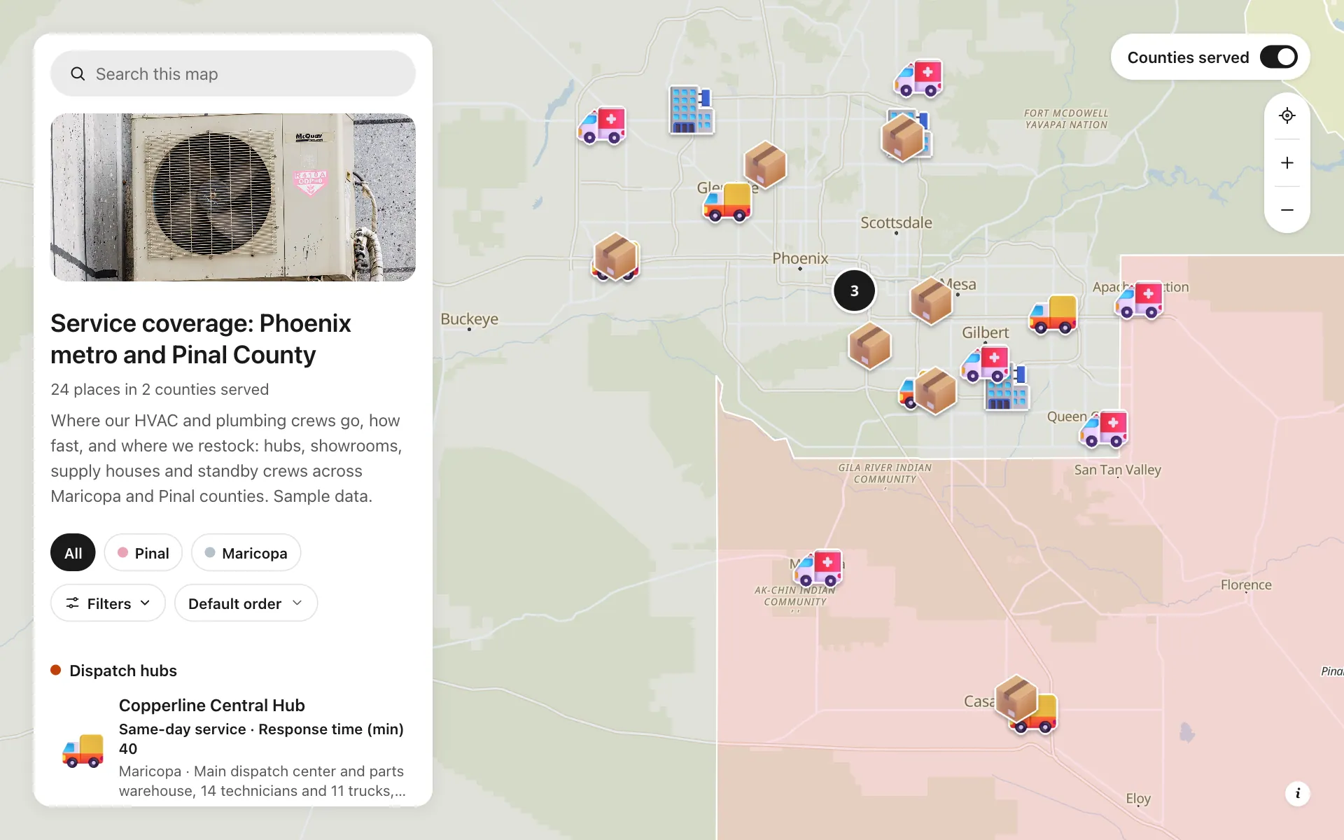
Service area and dispatch map
Dispatch hubs, same-day zones, supply houses and standby crews, shown on one coverage map.
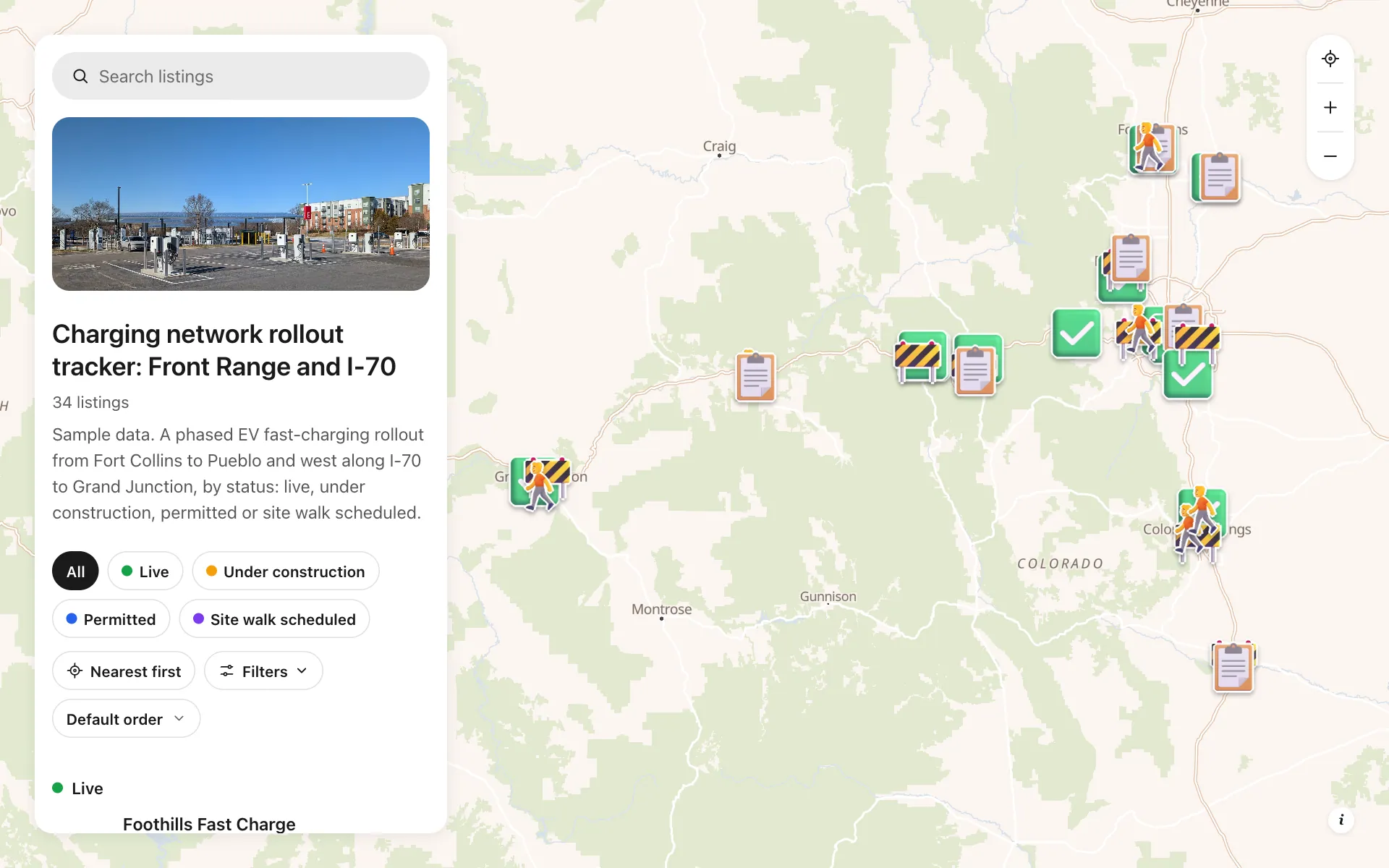
EV charging rollout tracker
34 sites from Fort Collins to Grand Junction by status, power, stalls and host type, with a host contact line.
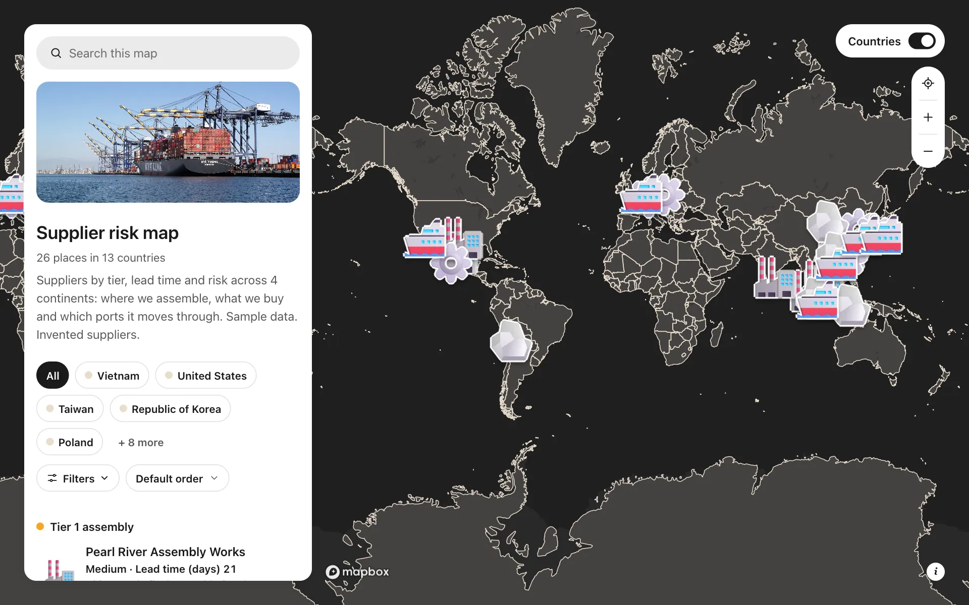
Supplier risk map
Suppliers by tier, lead time and risk, so concentration shows at a glance.
Build the map your business needs
Start free: up to 3 maps. Import your own data, add photos and details, and share one link.